Sunday October 11. Today's plan was to hike about 24 miles to the Seward Range. We greeted by a brief sleet shower just before we left the lean-to and hit the trail around 8:30 AM. The trail was nice and a hell lot drier than the trail to Duck Hole, except for a swamp that most of us took of our shoes to cross. We hiked pass many other lean-tos before get to the trail junction to Seward Mtn.

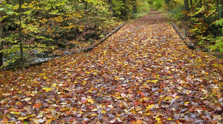
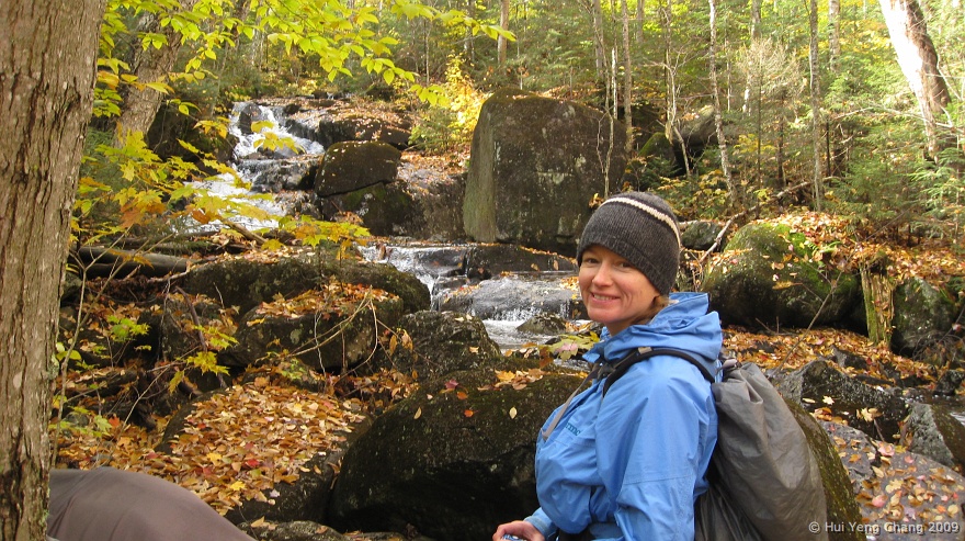
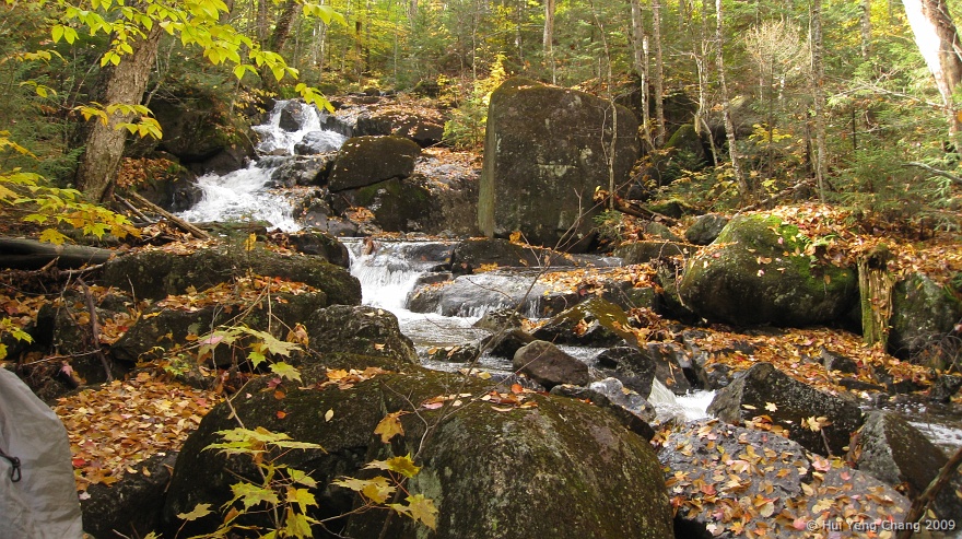
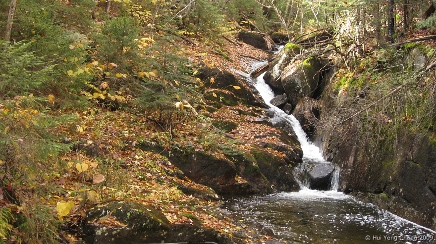
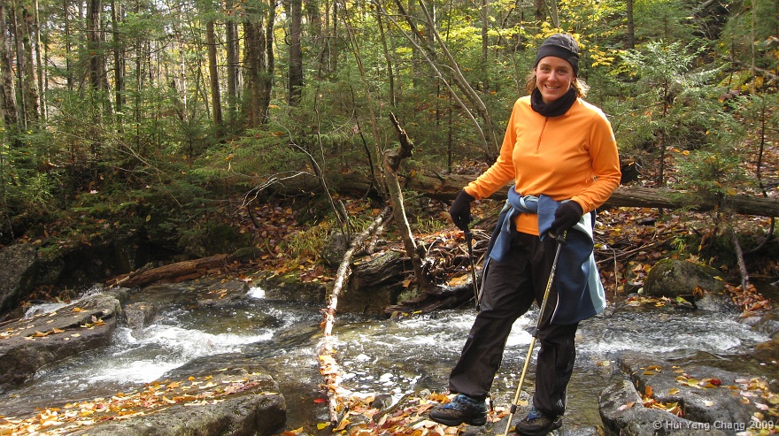
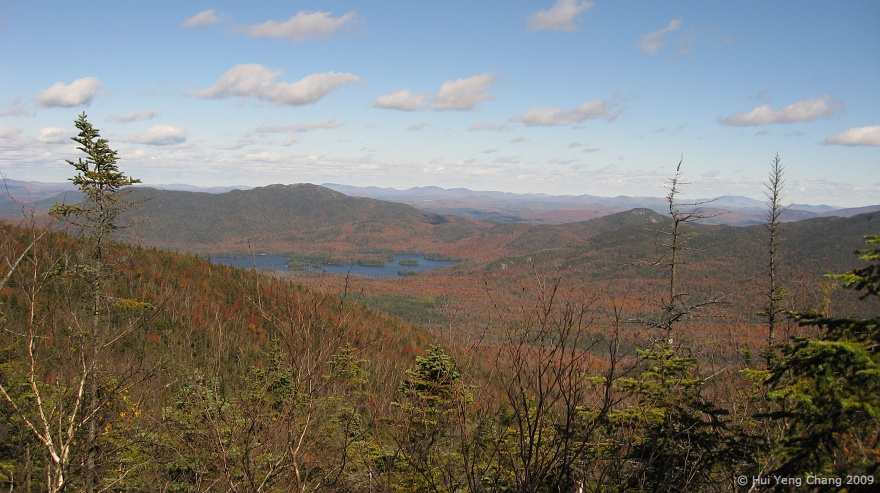
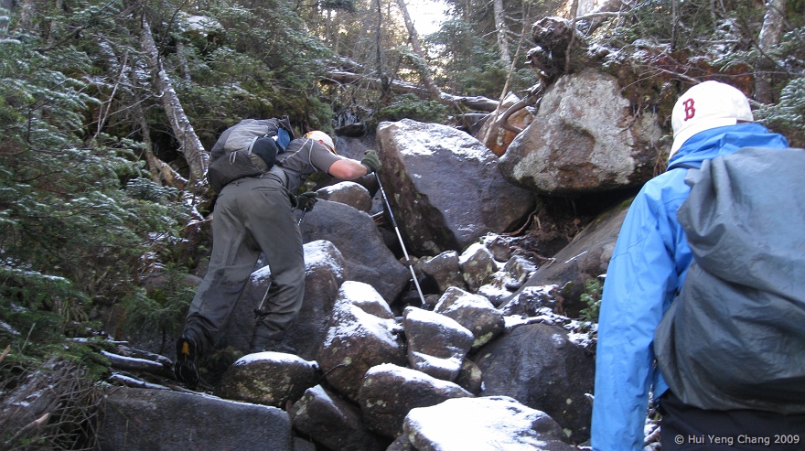
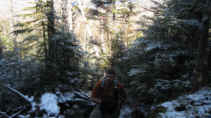
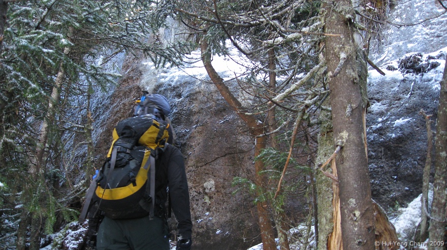
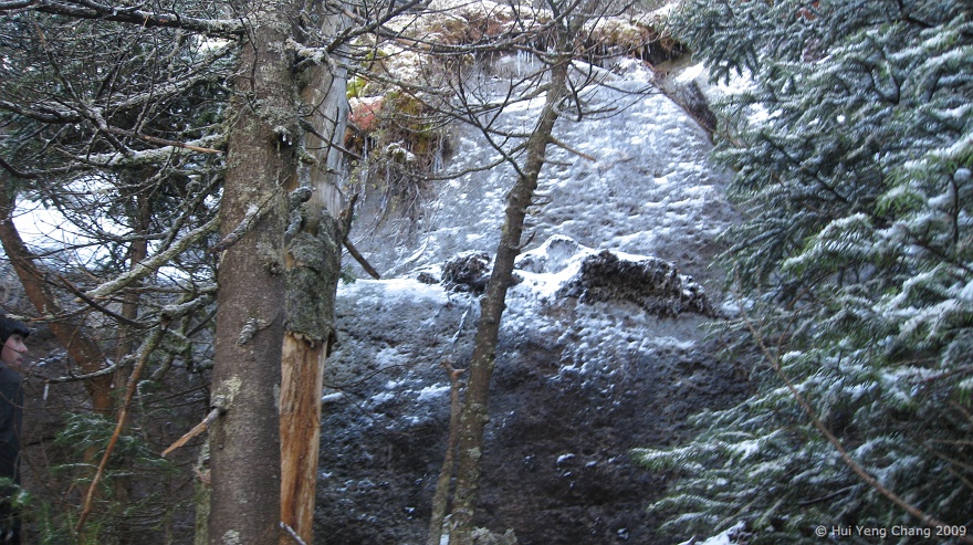
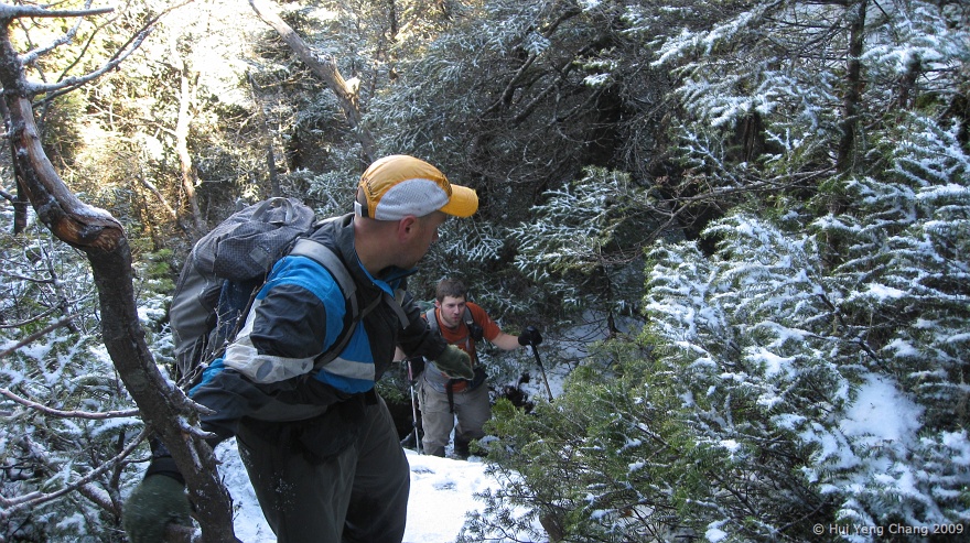
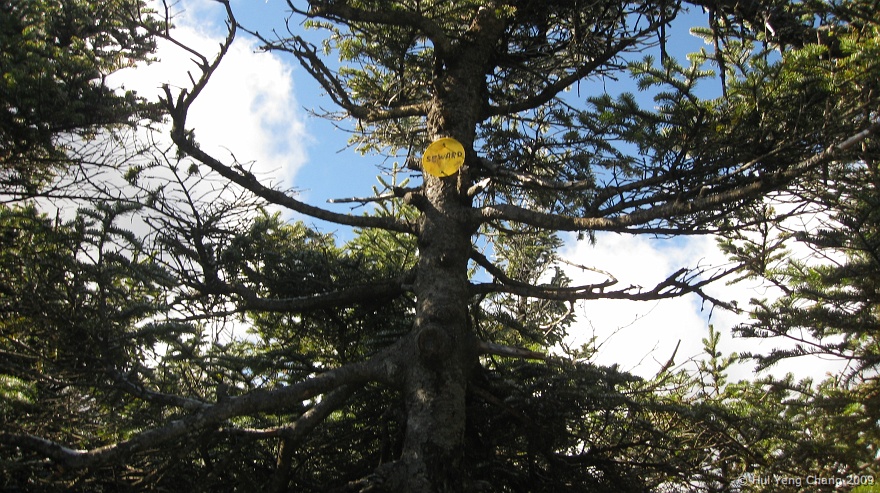
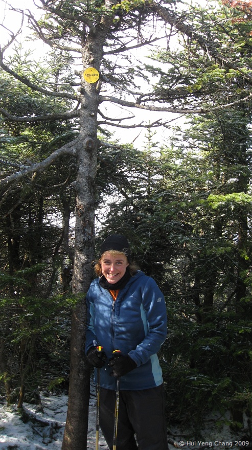
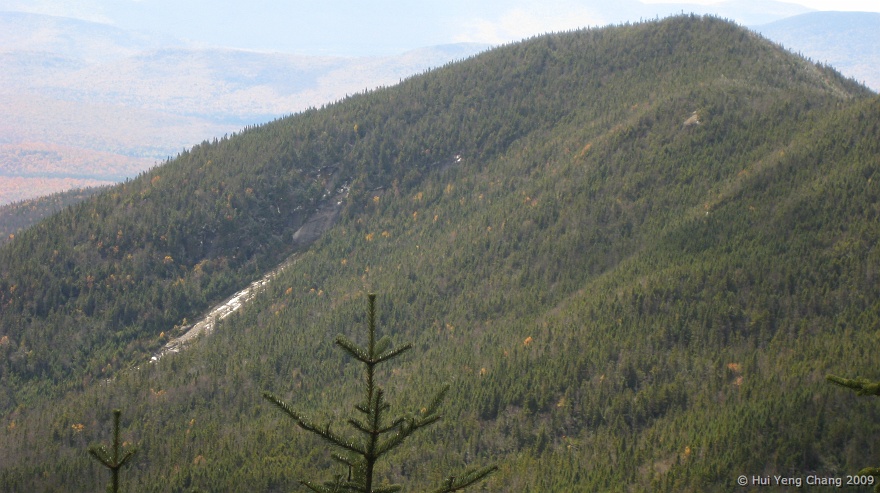
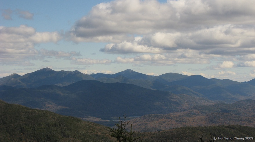
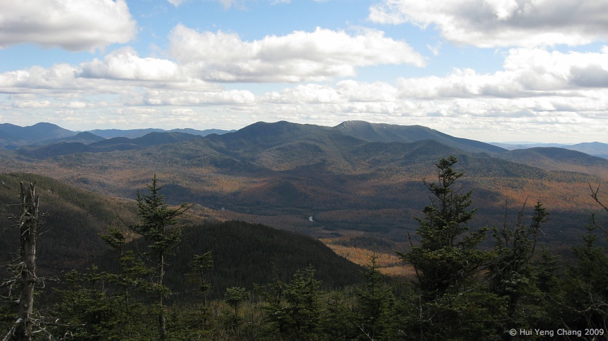
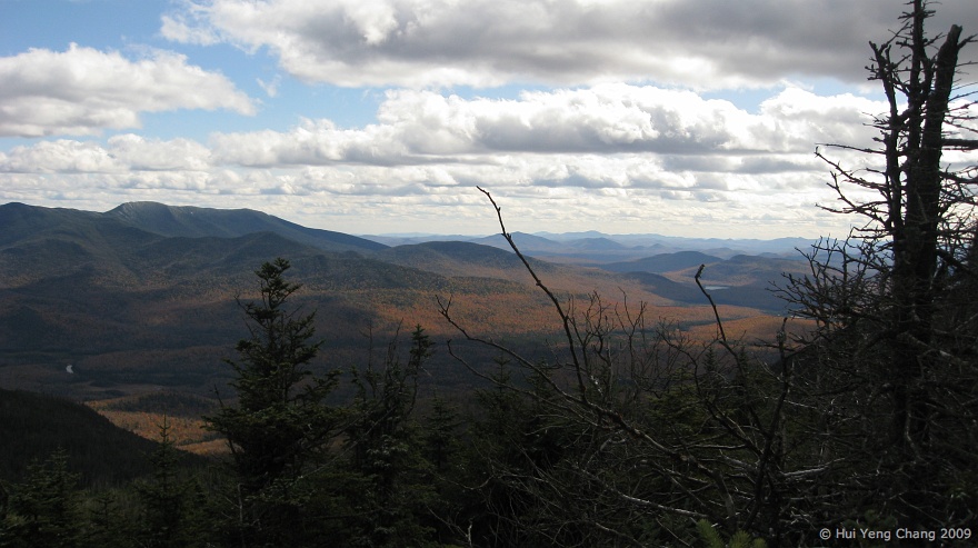
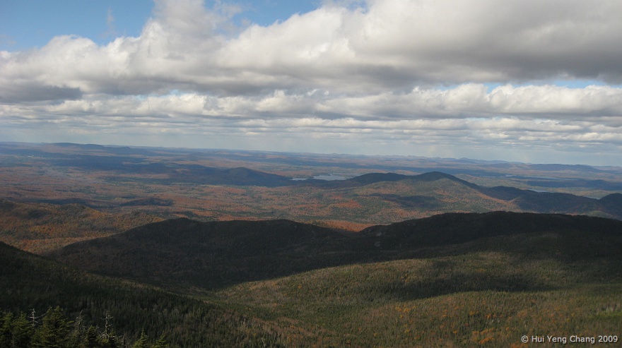
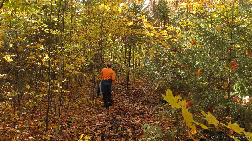
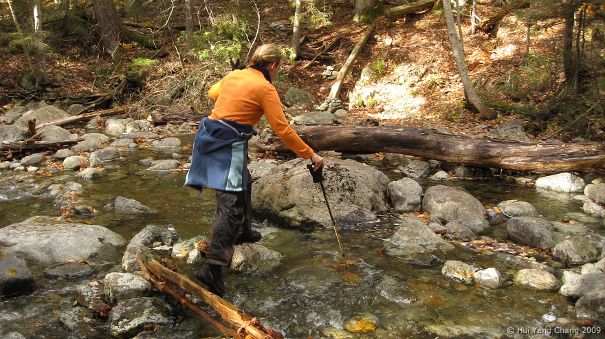
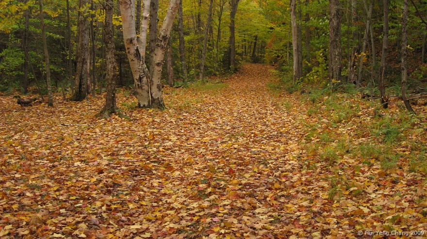
The begining of the trail runs along a brook and it was quite beautiful, but once the trail left the brook, it becomes steeper and we encountered our first sight of snow and ice of the season. My shoes were pretty soaked by the time we got to the summit of Seward. A quick hi and bye to the wooded summit, we made our way to Donaldson. While taking a lunch break at Donladson and enjoying the nice view the summit offers, I began to feel that my core was getting cold, and the wet feet just added to another factor for me to decide not to go to Emmons, the last and viewless summit on the range. Kim joined me in the decision and we came down via Calkins Brook trail, added few more miles to the hike, but it was well worth it.

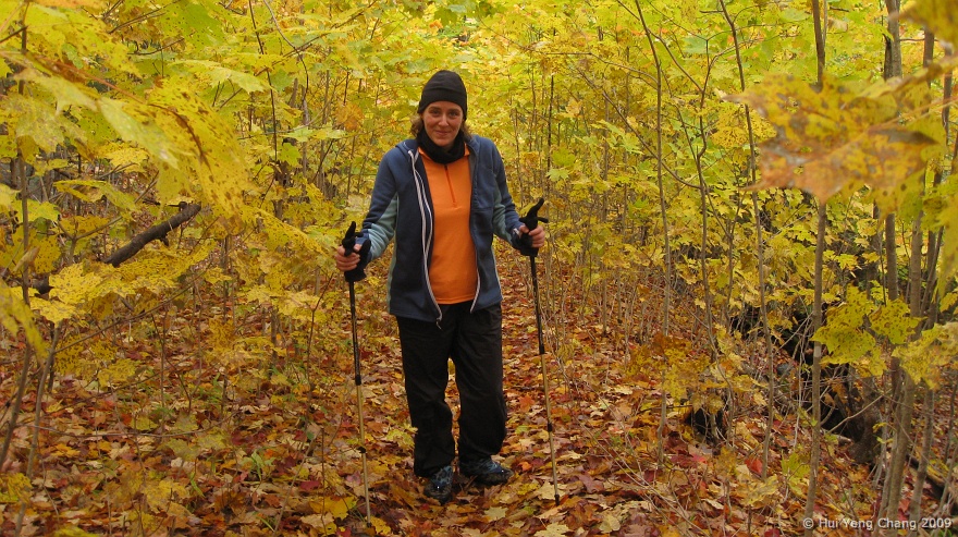
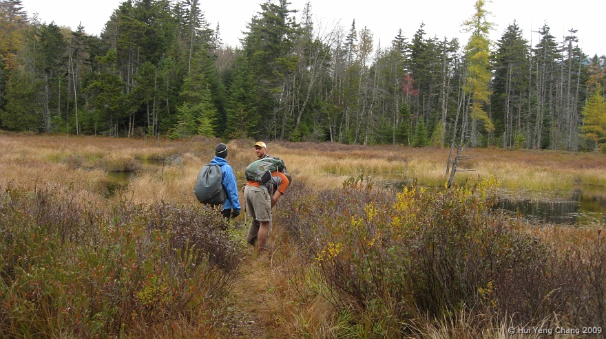
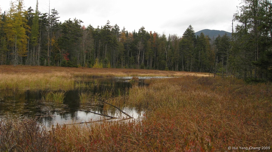
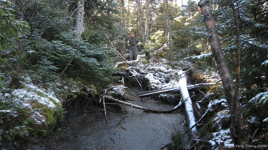
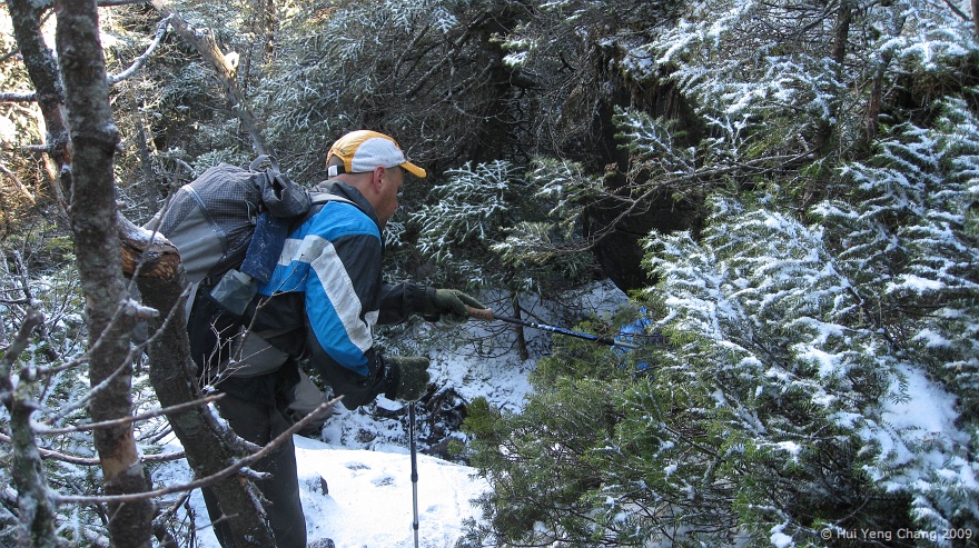
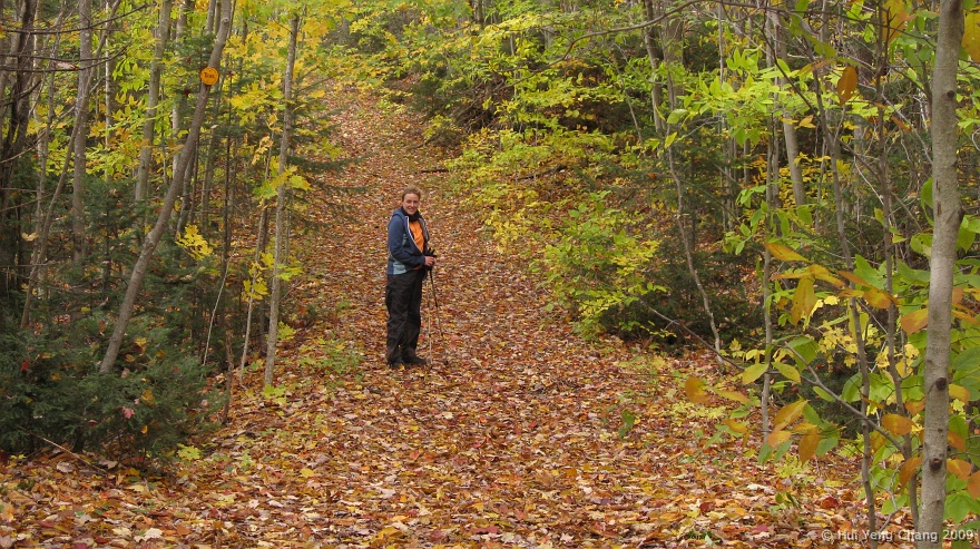
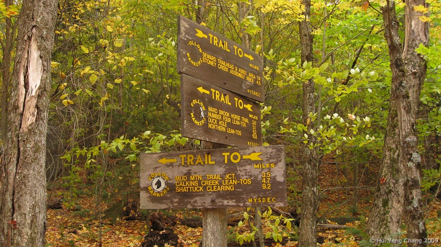
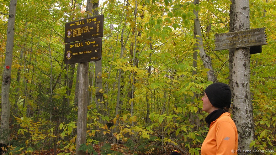
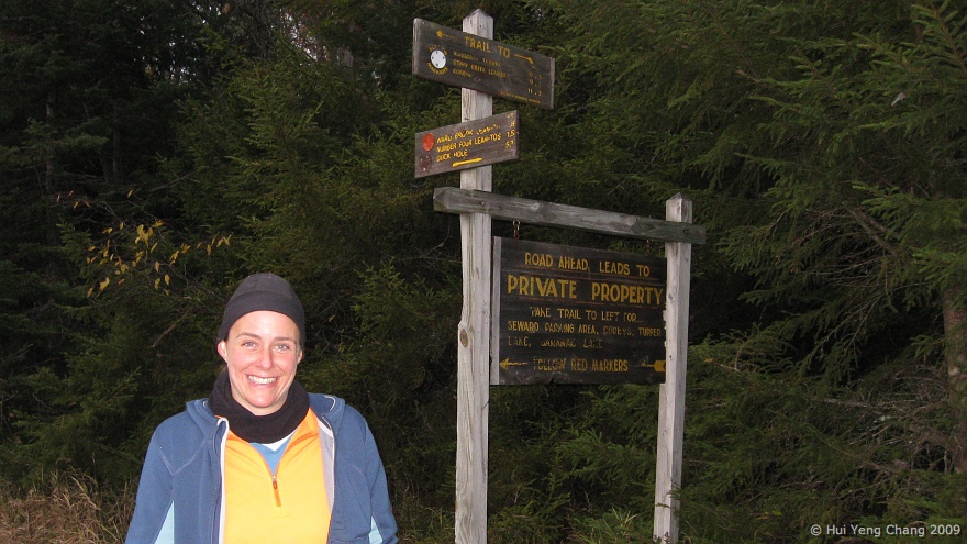
Two of us took our sweet time strolling down the beautiful Calkins Brook trail. But once we arrived at the junction of the horse trail and the trail to BlueBerry Lean-To, the sign at the junction reminded us of a long 9.1 miles back to Duck Hole. The trail to Blue Berry Lean-To was as bad as the trail to Duck Hole, if not worse. We set one destination at a time in order to break down the 9.1 miles to shorter goals. First the trail junction to Seward, where we started this morning, then the lean-tos along the horse trail (Ward Brook truck road), we figured once we get to the swamp, we'll be on the home stretch.

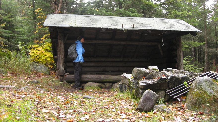
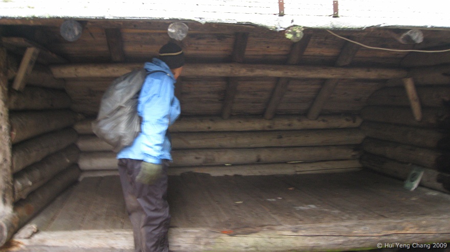
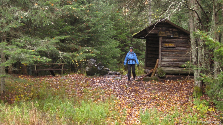
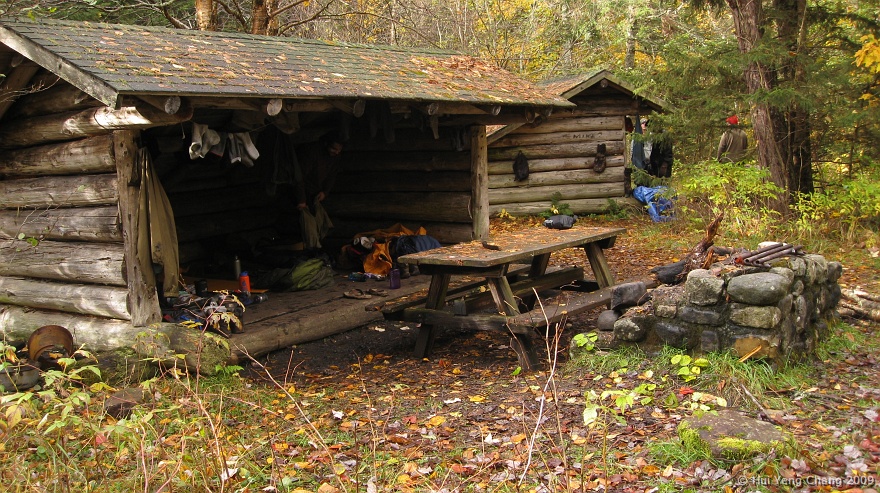
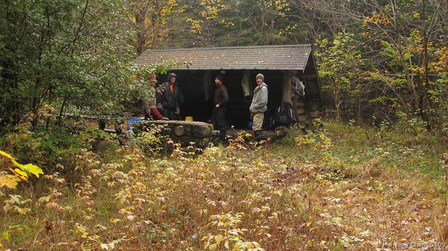
The headlamp went on shortly after we passed the 2 lean-tos along the horse trail. The hike back to the swamp was long but uneventful. Once passed the swamp, it began to snow lightly. I was so happy to see there were fire at the Cold River 2 lean-to, I just shouted out a "Hi" to the strangers. Next thing we saw was the trail to Bradley Pond followed by the register box and the junction to our lean-to! Wooohoo!!

We cleaned up and made dinner while waiting for the rest to come back. Just when the dinner was ready, we saw headlamp appraoching, they're home too. What a day!


IMG_8495
Gillian was not impressed by this lean-to's bumpy floor.
IMG_8497
This is th eother Cold River lean-to, just steps away from the first one.
IMG_8503
Beautiful trail.
IMG_8504

IMG_8506
Arrived at a swamp. All of us took off our shoes except Jason.
IMG_8507
The swamp.
IMG_8508
2 other lean-tos along the horse trail.
IMG_8510

IMG_8511
One of the other horse trail lean-to.
IMG_8512
This is Ward Brook lean-to. It has been completely rebuilt since I stayed here last year.
IMG_8513
Not crazy about the paint job which is unnecessary, but nontheless a nice place to call home for few nights.
IMG_8514
The trailhead to Seward is before this bridge...
IMG_8516
Seward Trailhead marked by a small cairn.
IMG_8518
Gillian.
IMG_8520
The lower section of the trail is quite beautiful, it runs along this brook.
IMG_8522
Steve.
IMG_8524
Nice cascades.
IMG_8526
Kim crossing the brook.
IMG_8527
Nice views on our way up.
IMG_8531
Wooo, snow....
IMG_8532
The trail get steeper as soon as the trail leave the brook.
IMG_8534

IMG_8536
Jason leading the way.
IMG_8541

IMG_8542

IMG_8543

IMG_8545
Jason coaching Gillian up a steep icy section.
IMG_8546
The infamous Seward headwall.
IMG_8547
No way we can climb this icy wall, but thankfully Kim remembered an easier way to get up. She led us further left to the headwall where the wall is shorter, there we can utilize the roots to pull ourselves up the wall.
IMG_8548
Couple more steep section before the summit of Seward.
IMG_8549
Tadah! The summit of Seward Mtn.
IMG_8550
Kim posed at the summit.
IMG_8551
On our way to Donaldson.
IMG_8553
Views of Emmons, Donaldson and Long lake in the distance.
IMG_8554
Emmons Slide.
IMG_8558
The summit of Donladson. My feet were getting very cold and decided not to proceed to Emmons.
IMG_8559
The MacIntyre Range and Great Range from the summit of Danaldson.
IMG_8562
Looking back at Seward from Donaldson.
IMG_8563
Easterly views from Donladson.
IMG_8564
Easterly views from Donladson.
IMG_8565
Easterly views from Donladson.
IMG_8566
Easterly views from Donladson.
IMG_8567
Another view point near the summit, this one looking westward.
IMG_8572
Kim and I decided to take Calkins Brook trail down the Seward Range.
IMG_8575

IMG_8576
Down to the horse trail where is cairn marked the entrance of the Calkins Brook trail.
IMG_8578

IMG_8579

IMG_8581

IMG_8583

IMG_8584
9.1 miles to Duck Hole... Long way from home.
IMG_8586
5.7 miles to Duck Hole, getting closer.
IMG_8588
We arrived back at the Duck Hole lean-to just after 8 PM, it was snowing lightly on the last stretch home, it was quite pretty.
IMG_8591